Sat, 10/25/2025; 50 miles, 1317 feet of climb
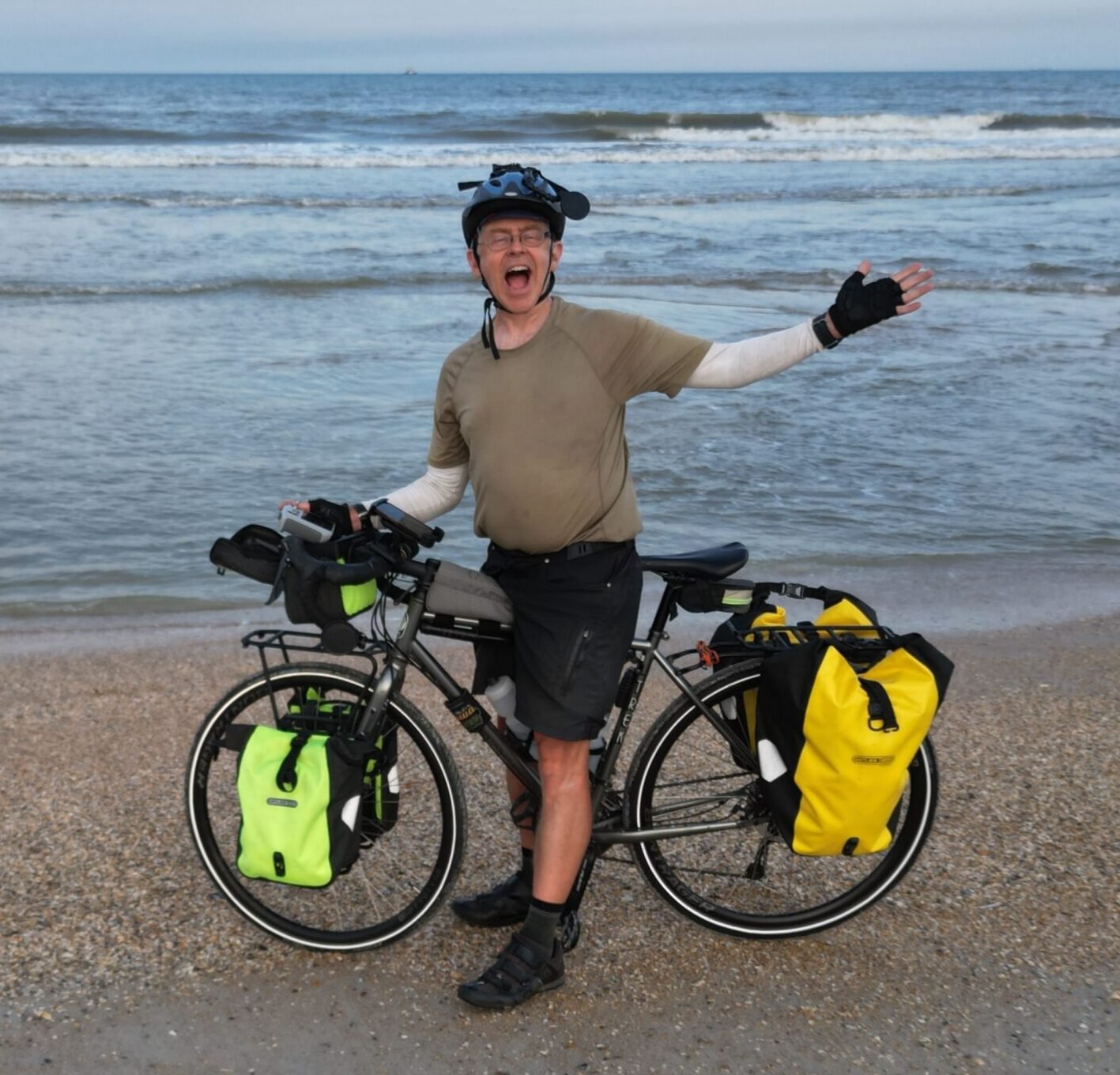
Today was a great day. It felt like a normal bike trip in good ol’ Wisconsin — gently rolling hills with no traffic and light breezes. And I am so grateful to now have a working iPhone, GoPro tripod, new tires and tubes, and no saddle sores!
——
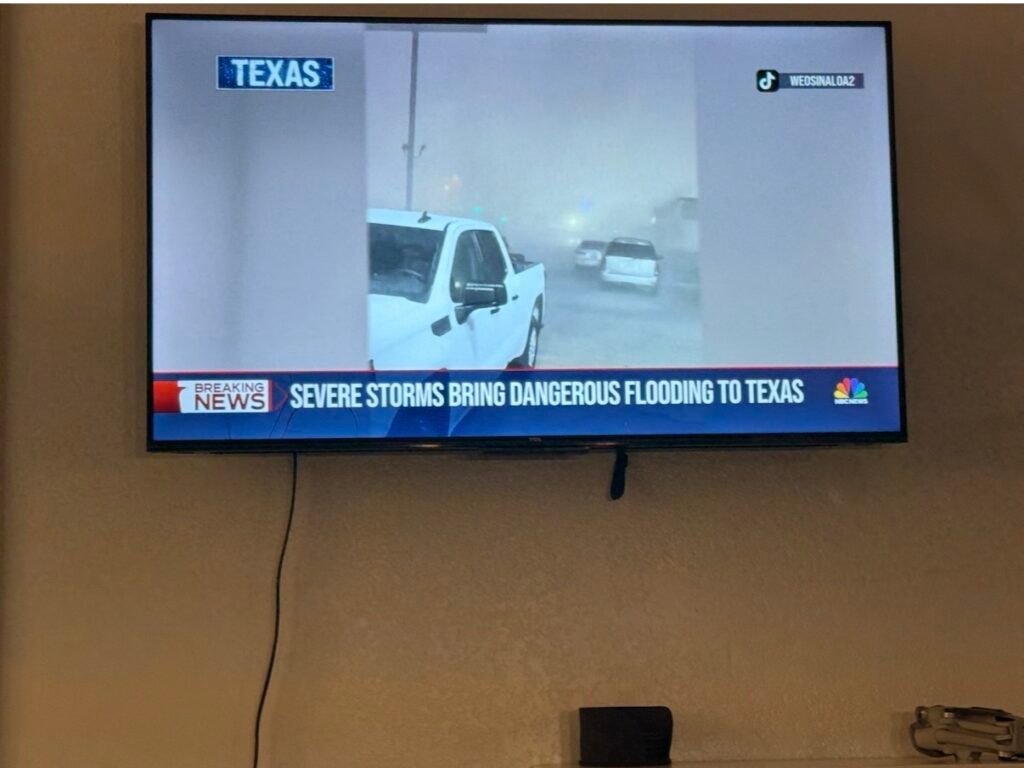
The storm came in as predicted last night, with plenty of rain and hail and lightning. There was golf-ball-sized hail back in Fort Stockton, near where I was a few days ago. I was so glad to be indoors!
The flood warnings extended until noon, and I was about to enter the Texas “hill country.” I wasn’t quite sure what I’d do if a road was impassable.
Today’s route was a full 50 miles, with absolutely nothing along the way, so I got an early start, leaving just after sunrise.
——
The weather was magnificent for biking! Unlike the hot and windy days for most of this trip, today was cool, cloudy, and CALM. It was so nice to cruise along without fighting ferocious headwinds all day.
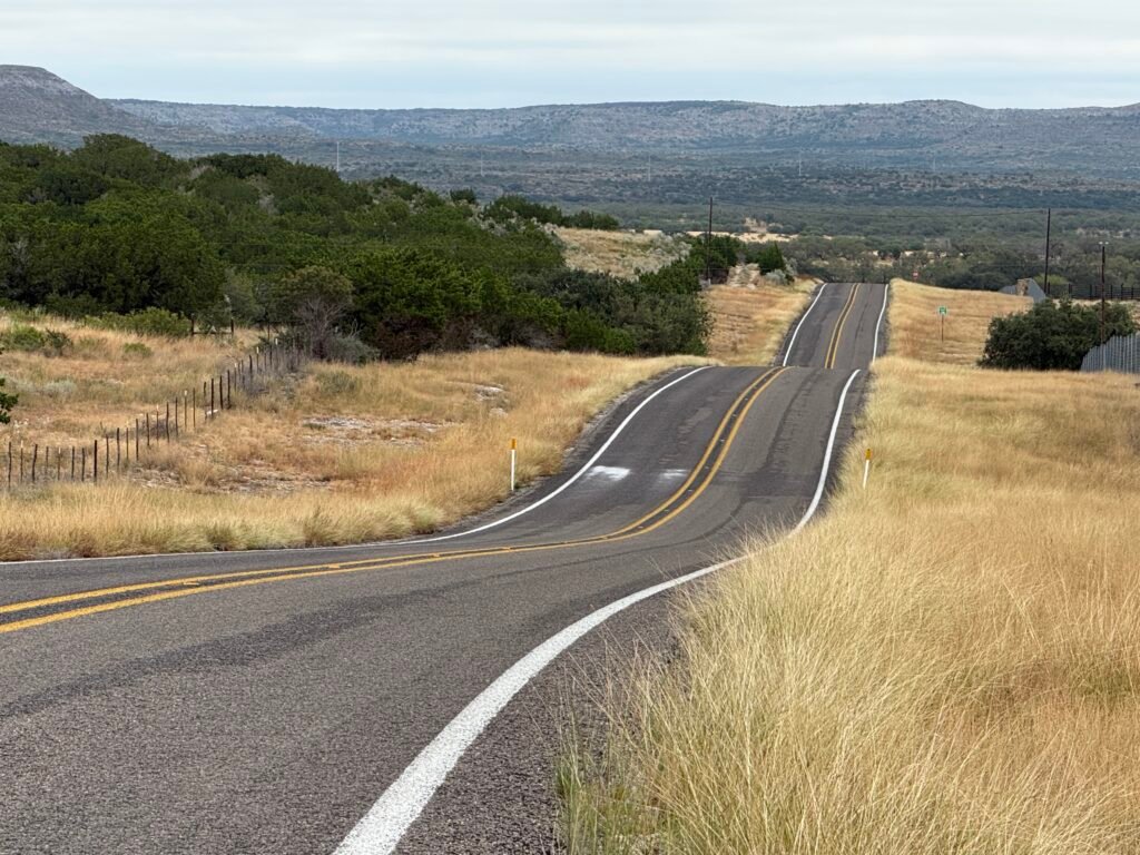
It was also fun to ride over the rolling hills. I was surprised that the 1317 feet of climb today was almost as much as that tortuous Day 2. It seemed so much easier without the winds and heat and flat tires, not to mention the uphills being spread out instead of nine miles straight.

The first 30 miles meandered on a delightful little country road called 334. Then it turned north on Highway 55 for another 20 miles.
——
I got to the town, Camp Wood, around 2 pm. There was a campground on the river a mile away, but they had no tent sites left. The only thing avail was a “glamping” site that was the same cost as a hotel, but without running water.
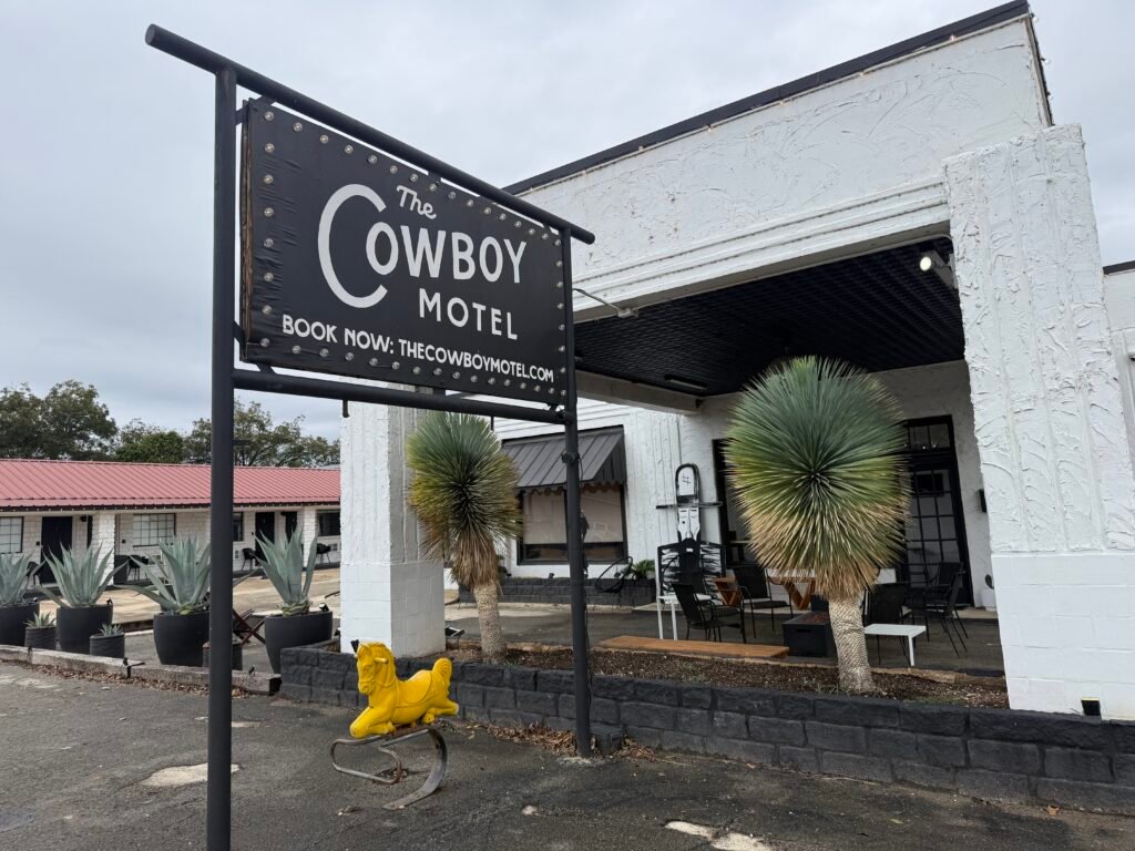
For the same price, I’d rather get a room at the Cowboy Hotel right downtown. It was a two-hour ordeal to get a room — you could only book online, and I was in cell hell with Verizon. Nobody answered the Ring doorbell, despite the sign. So I didn’t quite know what it do.
I ended up making a few trips to the public library on the main street. It was closed for the weekend, but a thoughtful librarian posted the wifi password in the window.
——
The town of Camp Wood is only 517 people, but it is a tourist area, so there was a good barbecue place and even an ice cream shop just steps away from the hotel. I took advantage of both.
The only glitch of the day (there has to be at least one) was that my drone is not working! It keeps wanting me to calibrate the gimbal, but that doesn’t help. Even after some experimenting and googling in the hotel parking lot, I still don’t have it working correctly.
So, sorry for the lack of aerial videos today. Although Beth says they all look the same to her anyway, so just look at previous days’ footage for now.
Today was the last required 50-miler of the whole trip! Tomorrow is by far the most climbing of any day, at 2300 feet. But It’s supposed to be blissfully calm again, although sunny and a little warmer. Also, there is an actual town halfway on the route tomorrow! That makes a big difference.
—————————————————-
TRANSLATIONS/BACKGROUND: “TEXBIRD” = Texas Bike Ride, my own nickname for the 800 miles in the middle of Southern Tier Bicycle Route, from El Paso to Austin, using maps from ACA (Adventure Cycling Association). This will complete my ride of the Southern Tier from the Pacific Ocean (San Diego) to the Atlantic Ocean (Jacksonville). (I biked the 1500 miles from Austin to Jacksonville in March 2024, and the 1000 miles from San Diego to El Paso in February 2025.)
I am now counting the days until I see friends and family in San Antonio and Austin!
—————————————————-
LINKS:
Old-fashioned BLOG if you have friends who don’t use Facebook:
“Old Scouter” Facebook page if you want to follow big adventures with more pictures and video clips (but not unrelated personal posts):
“Old Scouter” YouTube page (when I get time to edit after the trip):