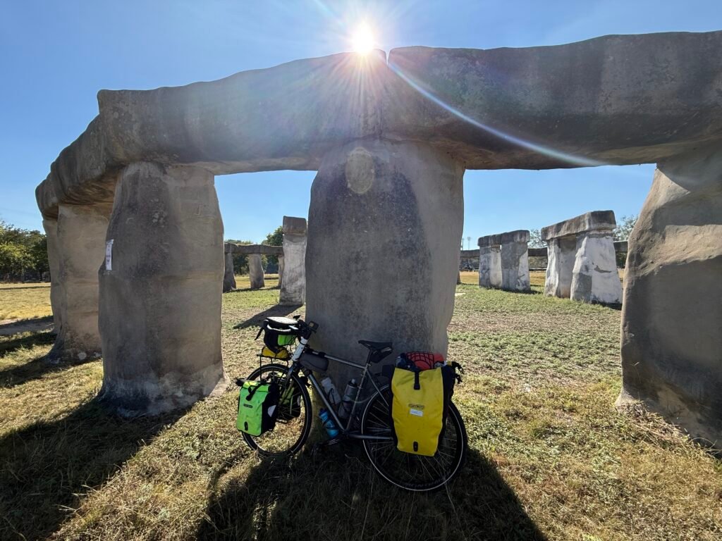
Mon, 10/27/2025; 53 miles, 2319 feet of climb
Wow, today was an unexpectedly hard day. I guess I’m too trusting of Google Maps. The last part of the route was through the “Texas hill country” that suffered such a devastating flood in July.
——
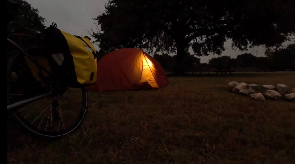
I woke up in Lost Maples RV park at 6:30 am. I actually slept pretty well in the tent! Or at least, I did after I put in my earplugs. The sounds of random acorns falling was very loud, and I kept thinking it was raccoons trying to get into my panniers again (even though I stashed my food in the bathroom for the night).
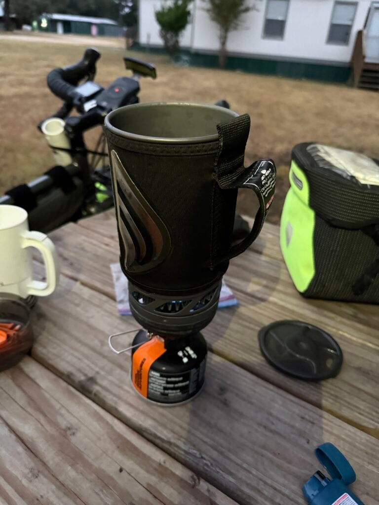
Once I cooked up oatmeal and coffee and packed up, I hit the road around 9:00. It takes longer to leave a campsite than a hotel.
——
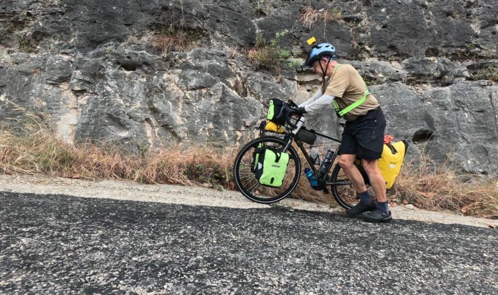
The first hill was brutal — after an hour and a half of biking, I was averaging only 6.6 mph. The monster incline didn’t have switchbacks and guard rails like yesterday’s, but it was even steeper, at up to 10.5%.
I rode on top of a ridge for a while. I knew from Google Maps that I had a total of 1234 feet of climb today from Vanderpool to Kerrville (love those ascending consecutive integers), so I was excited when I already had 1000 feet out of the way early in the day.
——
Little did I know. The hills just kept coming! The route turned east and followed the Guadalupe River to Hunt. One of the hills in that section hit 12.2%! No way am I riding up THAT with 93 pounds.
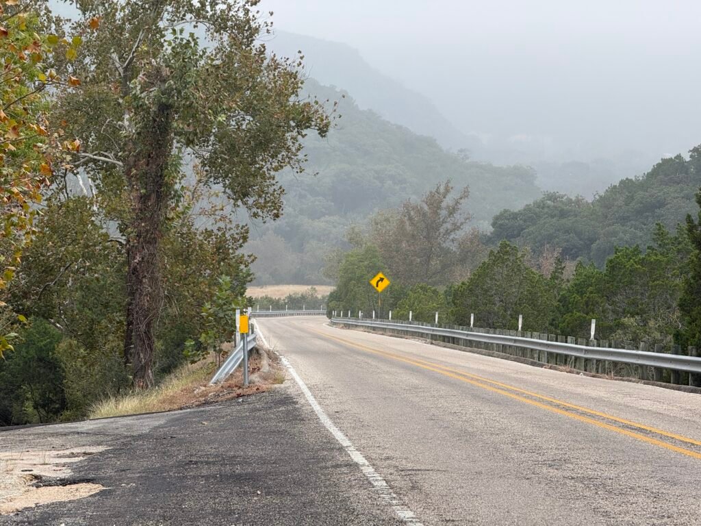
There was hardly any traffic the first 35 miles today. Riding along the Guadalupe River was haunting. This was the site where 138 people, including scores of children at a summer camp, lost their lives in tragic flash flood over the 4th of July weekend.
The road crossed the river at least a dozen times, and on either side of every crossing was brand new blacktop. The old apparently had washed away.
You could see all kinds of flood damage along both sides of the road. The river rose 26 feet in only 45 minutes! Many houses and cabins and businesses were still boarded up.
——
I finally made it to Kerrville, later than expected. My total climb for the day was 2319 feet! It was the second biggest climb of this trip by a long shot, and not short at 54 miles. But the weather was great — nice and cool for the first part of the day, and some tailwind for the second.
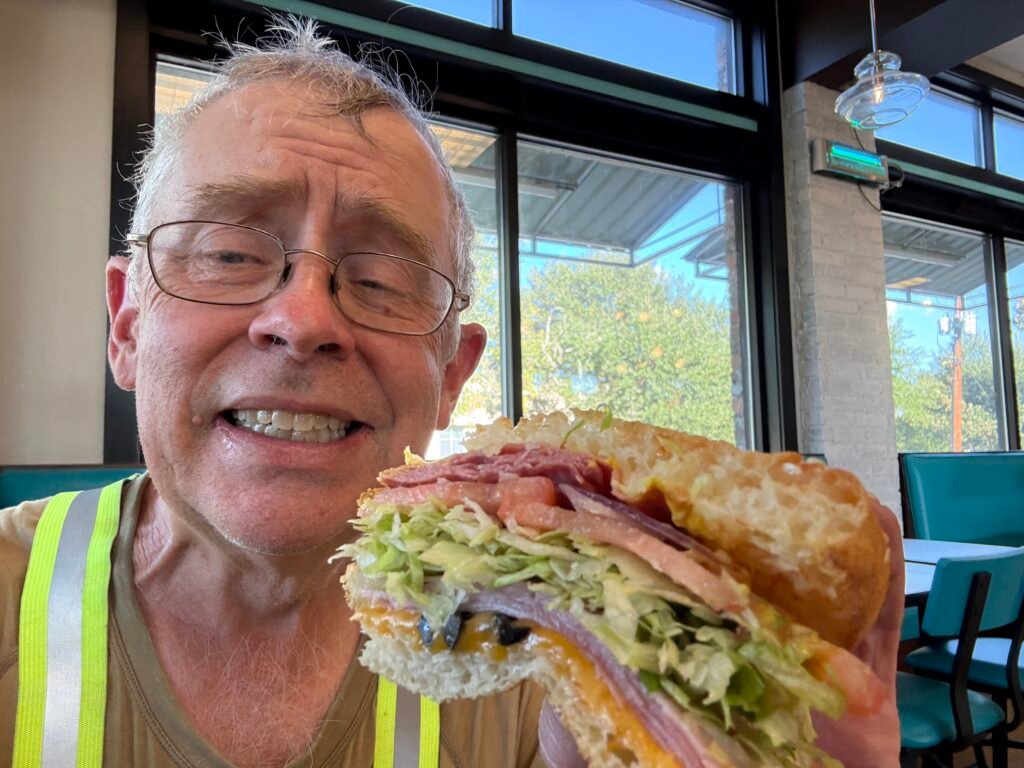
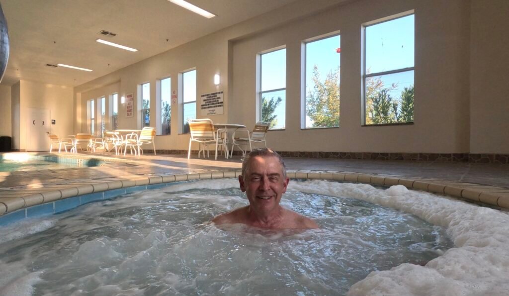
I had my first Schlotzky’s sandwich of the trip just before the hotel. I was glad to have a working hot tub to soak away the day’s labors. Then I was on a Zoom call for an IEEE meeting for much of the evening.
Tomorrow I leave the official Southern Tier Route and head southeast toward San Antonio. If I trust Google Maps, I’ll have only 1250 of climb in 37 miles. But that’s a big if.
—————————————————-
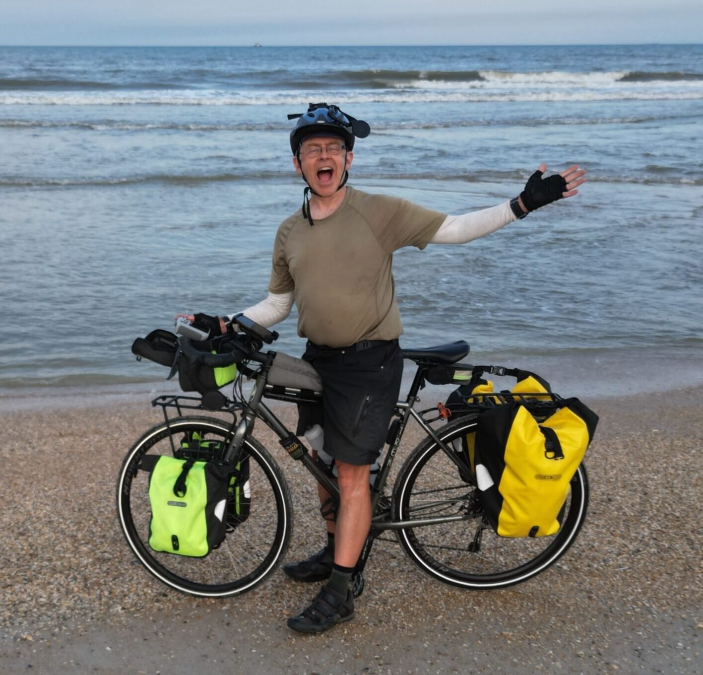
TRANSLATIONS/BACKGROUND: “TEXBIRD” = Texas Bike Ride, my own nickname for the 800 miles in the middle of Southern Tier Bicycle Route, from El Paso to Austin, using maps from ACA (Adventure Cycling Association). This will complete my ride of the Southern Tier from the Pacific Ocean (San Diego) to the Atlantic Ocean (Jacksonville). (I biked the 1500 miles from Austin to Jacksonville in March 2024, and the 1000 miles from San Diego to El Paso in February 2025.)
—————————————————-
LINKS:
Old-fashioned BLOG if you have friends who don’t use Facebook:
“Old Scouter” Facebook page if you want to follow big adventures with more pictures and video clips (but not unrelated personal posts):
“Old Scouter” YouTube page (when I get time to edit after the trip):
See you soon!